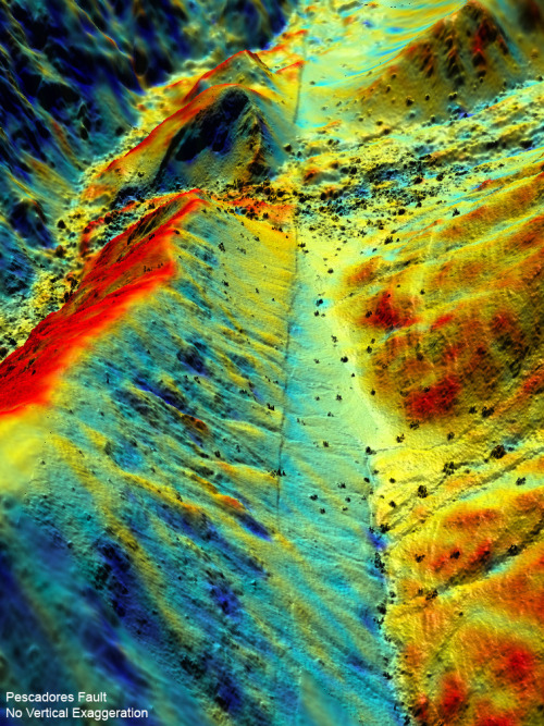
Geologists have an “illuminating” tool to study how earthquakes change the landscape–down to a few inches. And this laser-based technology is giving scientists insights into how earthquake faults behave.
In fact, a team of NSF-funded scientists from the United States, Mexico and China used the technology to obtain some of the most comprehensive before-and-after pictures of an earthquake zone, using data from the magnitude 7.2 event that struck near Mexicali, Mexico, in April 2010.
Working with the National Center for Airborne Laser Mapping (NCALM), the team flew over the area with LiDAR (light detection and ranging), which bounces a stream of laser pulses off the ground.
Image credit: Michael Oskin et al.,
No hay comentarios:
Publicar un comentario